Well, after taking some time off because I was tired of repetition and working too much, I decided to retire. After six months of being retired, I expect to stop working in about a month. How does that happen? Then after a month off, I went back to my old job as a part-time/temp worker. In a month, my second 90 day contract will end and they don't expect to renew it. Time wise, great, financially, we hope to make the transition as smooth as possible. Now on to some hiking in the desert.
On December 23, 2012 I decided that I hadn't been getting nearly enough exercise since Thanksgiving, so I decided to take a hike. I was lucky to get CK to go with me. She didn't want to go very far from home, so we decided on Murray Peak or Hill, it's known by both names. We started from the Rimrock trailhead at about 12:30 pm. I had eaten too much for brunch, so CK quickly left me in the dust, she's faster anyway. As I hiked up Dunn Road, I came to fork in the road, I knew CK had taken the wider fork, but I could see that the left fork went more toward our intended target. I took the left fork and about ten minutes later my phone rang. CK accused me of ditching her for getting ahead of me. Actually I was just trying to catch up, I hadn't hiked this section of road before, but I had a good idea that the two forks would connect. In fact they joined back together after only about a hundred yards or so.

Looking back at CK just past where the two forks rejoined.
We went around a corner and I was surprised to see the tops of some palm trees.

The tops of palm trees down in the canyon.
Of course I had to go that way, you can see a trail leading down into the canyon and we took that. It's not that I don't like hiking on the road, but the foot path is more to my liking. As we neared the bottom of the canyon, we saw a trail sign for the Jane's Horse Trail. We decided that it was a bypass for a large dry fall down in the canyon.

Sign for Jane's Horse Trail.
I will have to return to explore the palms, but I knew that since we had started about 12:30, we needed to keep on track to the peak. We soon dropped down into the wash and followed the was for a ways until we joined the bottom of the Clara Burgess Trail. From this point on, the terrain decidedly became steeper. We soon came upon a sign requesting a voluntary trail closure from January 1st to June 30th. The purpose is to not interfere with the bighorn sheep, as this is near the lambing grounds. Of course, the traditional lambing grounds are in Rancho Mirage, where they built the Ritz Carlton resort. I understand that bighorn sightings are quite common during Sunday brunch at the resort.

Voluntary closure sign.
As we continued up the trail, it terrain becomes spectacularly steep, which makes this trail unique, few local trails on on such steep hillsides.

On the switchbacks of the steep portion of the hillside, looking toward Cathedral City, Salton Sea is in the far background.

Palm Springs and San Gorgonio in the background.
Soon all of our hard work was rewarded with the spectacular views from the summit.

Picnic tables at the summit.

Panorama 1, Cathedral City Cove.

Panorama 2, Cathedral City, Edom Hill and Joshua Tree in the background.

Panorama 3, Palm Springs, airport, Whitewater Wash, Desert Hot Springs in the distance.

Panorama 4, downtown Palm Springs, San Gorgonio and San Jacinto.

Panorama 5, Indian Canyons.

Panorama 6, Desert Divide with clouds moving in.
After about 20 minutes we finished our snacks and headed back down the way we came up. We didn't see anyone else during the entire time we were on the Clara Burgess trail and on the summit and back down the Clara Burgess. Not bad for being so close to "civilization".

Looking down the Clara Burgess trail.
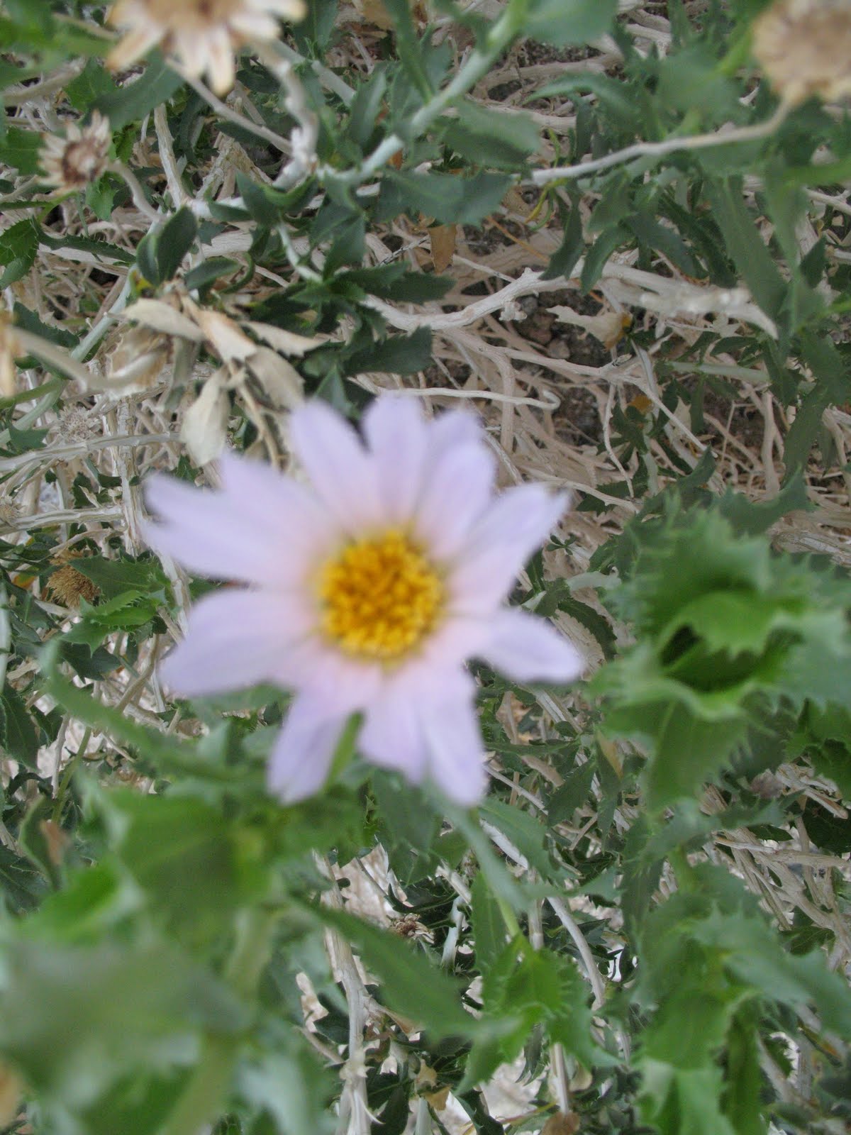
One of the things that surprised me, was seeing some flowers in bloom. I didn't expect flowers this time of year.

Rock Daisies along the trail.

Although this baby Barrel Cactus wasn't in bloom, CK thought it was just too cute and wanted to take it home as a pet. Note my lip balm for size comparison.
Soon we were at the start of the Clara Burgess Trail. Amazing how much faster you can go downhill.

CK at the bottom of the trail.

OK, now you can read the sign.
One of the big draws for this area is the mountain biking. The trails are known as the Goat Trails. It is amazing where you see the bike tracks.

Yes, there were bike tracks coming down this drop off.
Once we made it back to Eagle Canyon, we started down the wash. The wash has some nice features, not too soft and the sights are always interesting.

Heading down Eagle Canyon.

Chuparosa, a hummingbird favorite.

Another flower in bloom, the seed pods were neat. Soon we reached the point where the trail leaves the bottom of the wash (to avoid a big dry waterfall) and started up the last ridge towards Palm Springs.

View leaving Eagle Canyon.
Once we were back up on the ridge, we were back on Dunn Road and headed down toward the car. From the road we could see the true bighorn lambing grounds.

Heading down Dunn Road, to left of small hill in foreground is the Ritz Carlton Resort.

Looking at Palm Springs as we drop down the last ridge.
We took a side trail, since I'm not that fond of the roads.

This is certainly the time of year for desert hiking. Great weather, great views and great company.